


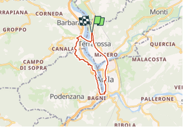

21 km | 33 km-effort


Tous les sentiers balisés d’Europe GUIDE+


Kostenlosegpshiking-Anwendung
 SityTrail
IGN / Geografische Institute
SityTrail World
Die Welt öffnet sich für Sie
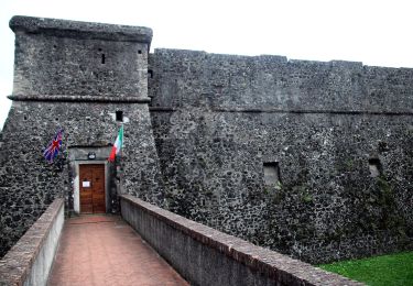
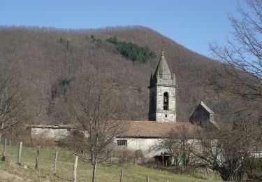
Tour Zu Fuß von 9,7 km verfügbar auf Toskana, Massa-Carrara, Licciana Nardi. Diese Tour wird von SityTrail - itinéraires balisés pédestres vorgeschlagen.
Trail created by Unione di Comuni Montagna Lunigiana.
Whole route surveyed on foot 8.12.19


Zu Fuß
Zu Fuß

Wandern
Zu Fuß

Rennrad